


Motion from recent implosion recorded 121 miles away.

Kentucky Geological Survey (KGS) has published the findings from its monitoring of the event in an 11-page report, “Ground Motions Induced by the March 11, 2018, Implosion of the Capital Plaza Tower, Frankfort, Kentucky.”
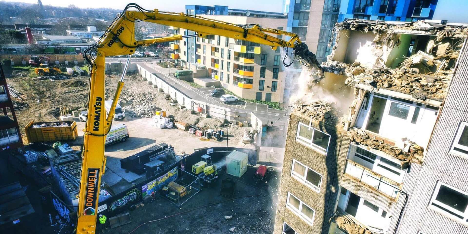
With the permission of a couple of landowners, a private business and a state agency, the temporary instruments were set up a few days before the implosion and removed shortly afterwards. A high-speed video camera was also used to record the 10 explosions that weakened and collapsed the 28-story building. That allowed the KGS scientists to correlate the seismic readings with each blast and the building’s impact with the ground.
All of the temporary instruments recorded each explosion and the building impact, but other sensitive instruments around Kentucky in the KGS Seismic and Strong-Motion Network also detected the event. A station in Floyd County, Kentucky, 121 miles away from the implosion, recorded slight motions from the building’s collapse.
Although seismic waves induced by the collapse were detectable at such large distances, among the findings in the report is that in downtown Frankfort “shaking from the event was not likely felt by people, and damage to the built environment was unlikely at the distances of the KGS recording stations.”
Read more here.
